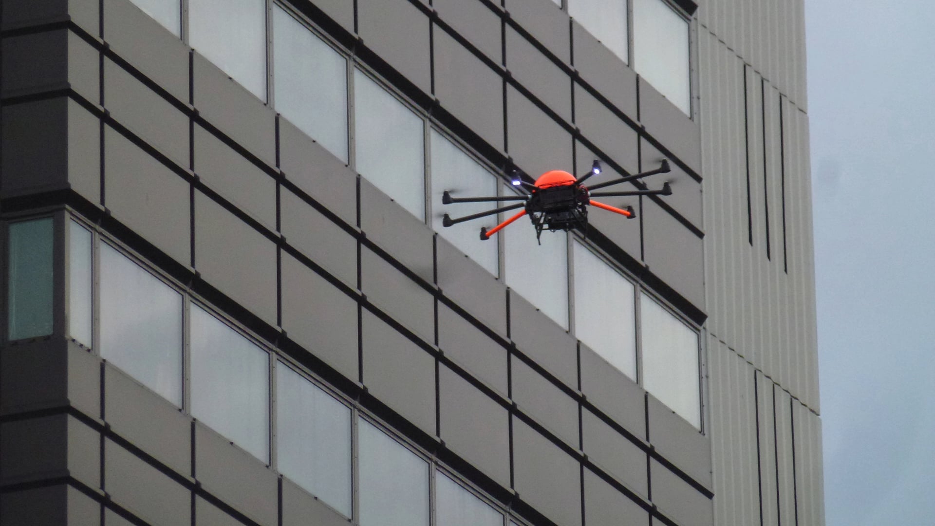
Although many consider drones to be toys, multiple industries, such as the agriculture and mining industry, already know what advantages professional Unmanned Aerial Vehicles (UAVs) can offer. However, many companies in the construction industry do not seem to be familiar yet with the possible advantages of UAVs for their projects. In our 3TU Lighthouse project “Throw in the I-drone” we, the University of Twente, Delft University of Technology, HeightTech and BeemFlights, would like to make the construction industry aware of the possibilities UAVs have by demonstrating possible usages, by providing a protocol on how to use them and by simplifying the interpretation of data collected. Especially, the use of UAVs with an infrared camera will have our attention, because these systems can help in improving the energy performance of buildings reducing their environmental impact.
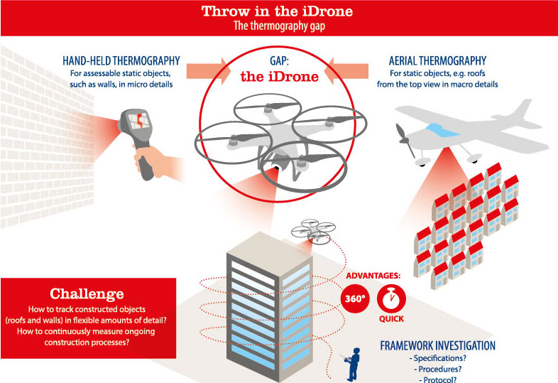
The gap: mesa scale temperature mapping
Thermography enables us to distinguish surfaces with different temperatures. Temperature data from infrared cameras can, for instance, pinpoint flaws in the thermal shell of buildings or electric problems in the meter cup board. The application of thermography on buildings is already a well-known practice. Unfortunately, this process is tedious and time consuming. On the other hand, large-scale airborne temperature mapping is both applicable and useful to document temperature signatures on the scale of whole suburbs at once. Still, that method is expensive and less controllable. As a result, these micro- and macro-scale of temperature mapping solutions help specific niches, while the intermediate mesa-scale stays underexplored.
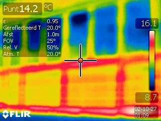
Unmanned Aerial Vehicles (UAVs) with an infrared camera can help in improving the energy performance of buildings reducing their environmental impact.
The challenge: showing UAVs with IR to the construction industry
The University of Twente, Delft University of Technology, HeightTech and BeemFlights want to collaboratively challenge the current rules of temperature mapping by exploring this mesa-scale. We target to provide the missing link for the micro to macro temperature mapping continuum. Specifically, we aim to leverage current advances in IR-technologies and remote control Unmanned Aerial Vehicles (UAVs) to fill this gap by utilizing an “i-drone”. The versatility of a UAV combined with enhanced IR vision enables new innovative type of temperature mapping, not available on micro and macro level.
This challenge has not widely been taken up by the construction industry, due to the risk of failing to repay the costs of the equipment. We expect it to open new horizons and enrich a number of practices. Among other tasks, the UAV will be very useful in monitoring building processes, studying the thermal losses of roof-systems, malfunctioning photovoltaic panels and for the inspection regarding building regulation. We will test the combination of UAV and IR cameras for constructions in use, e.g. dwellings, industrial buildings, and/or office buildings.
The results: research and knowledge valorisation
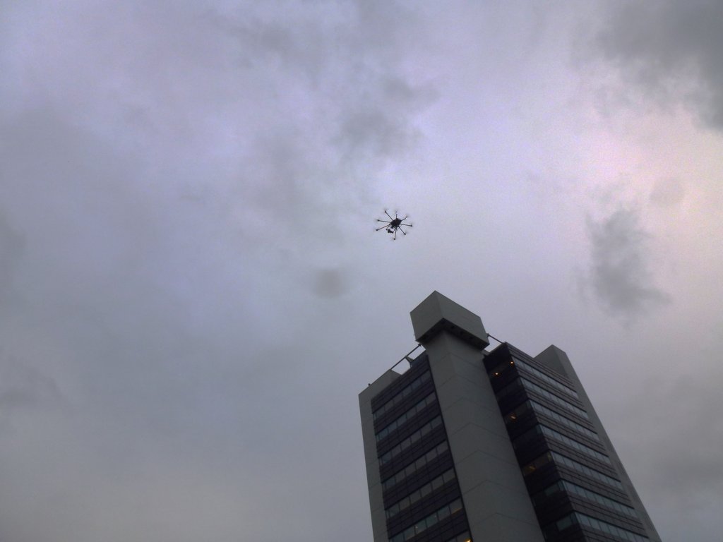
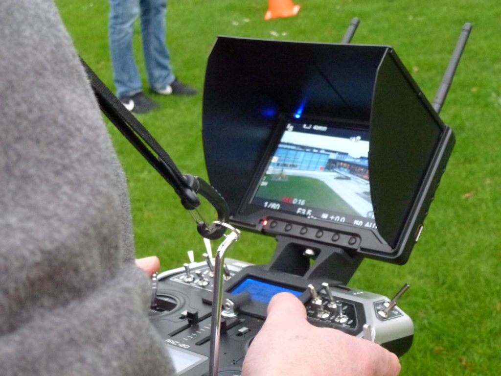
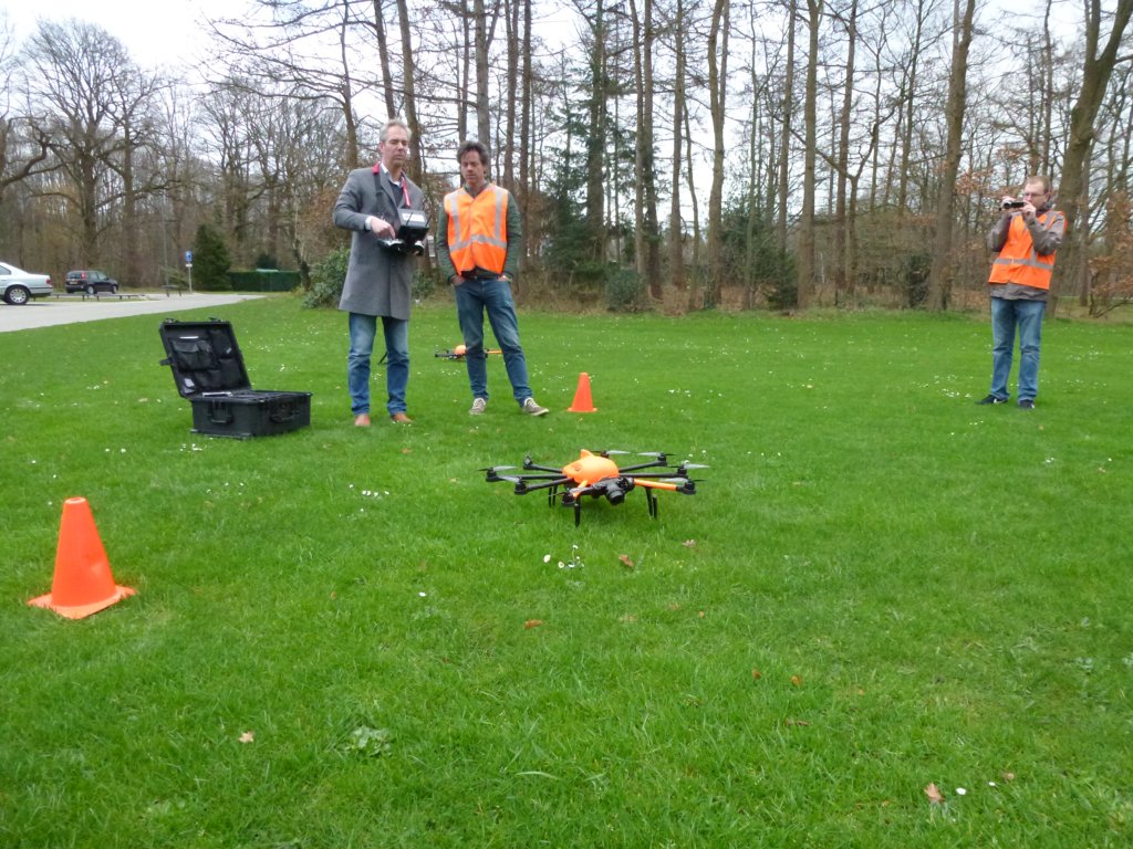
Our first efforts resulted in great footage to support our research and external communication. With the help of an UAV with a conventional camera a teaser was made to show the opportunities drones can offer in the construction industry when equipped with an infrared camera. Meanwhile, it was possible to establish a collaboration with drone manufacturer HeightTech.
Secondly, a literature study by means of a capita selecta by a master student was conducted on thermography, UAVs and the combination of both providing insights in the current fields of knowledge.
Thirdly, as part of a bachelor thesis assignment a questionnaire was composed and interviews were taken among construction companies, facility managers and building advisors to find out what solutions an UAV could offer, enabling us to assess the potential impact of utilizing drones in the construction industry.
More technical elements in our research project, a fourth step, were focusing on how data is being collected by an infrared camera and how photovoltaic systems can be inspected with the help of an infrared camera.
We target to provide the missing link for the micro to macro temperature mapping continuum.
The future: testing and follow-ups
Currently, we are studying how to integrate the data obtained by the UAV and the output of data analysis into standard automated assessment procedures, reducing the amount of time normally needed to select, prepare and analyze the data. We are also developing a flight protocol. We plan to test our protocol for a building in use and a photovoltaic system by the end of February 2016. Last but not least, a follow up of the i-drone project is being discussed with companies in the field. It seems that multiple challenges still need to be overcome, before the construction industry and buildings can benefit from the use of professional UAVs in their full potential. A continuation by means of a PDEng trajectory seems an appropriate next step.
Project Team:
Delft University of Technology
Ir. Eric van den Ham, dr. Regina Bokel
University of Twente
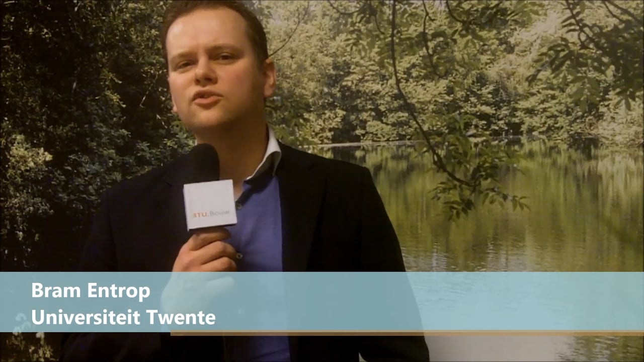
dr. ir. Bram Entrop, dr. Alexandr Vasenev
BeemFlights
Sander Mutsaards
Height-Tech Benelux B.V.
Ernst Thijsen


