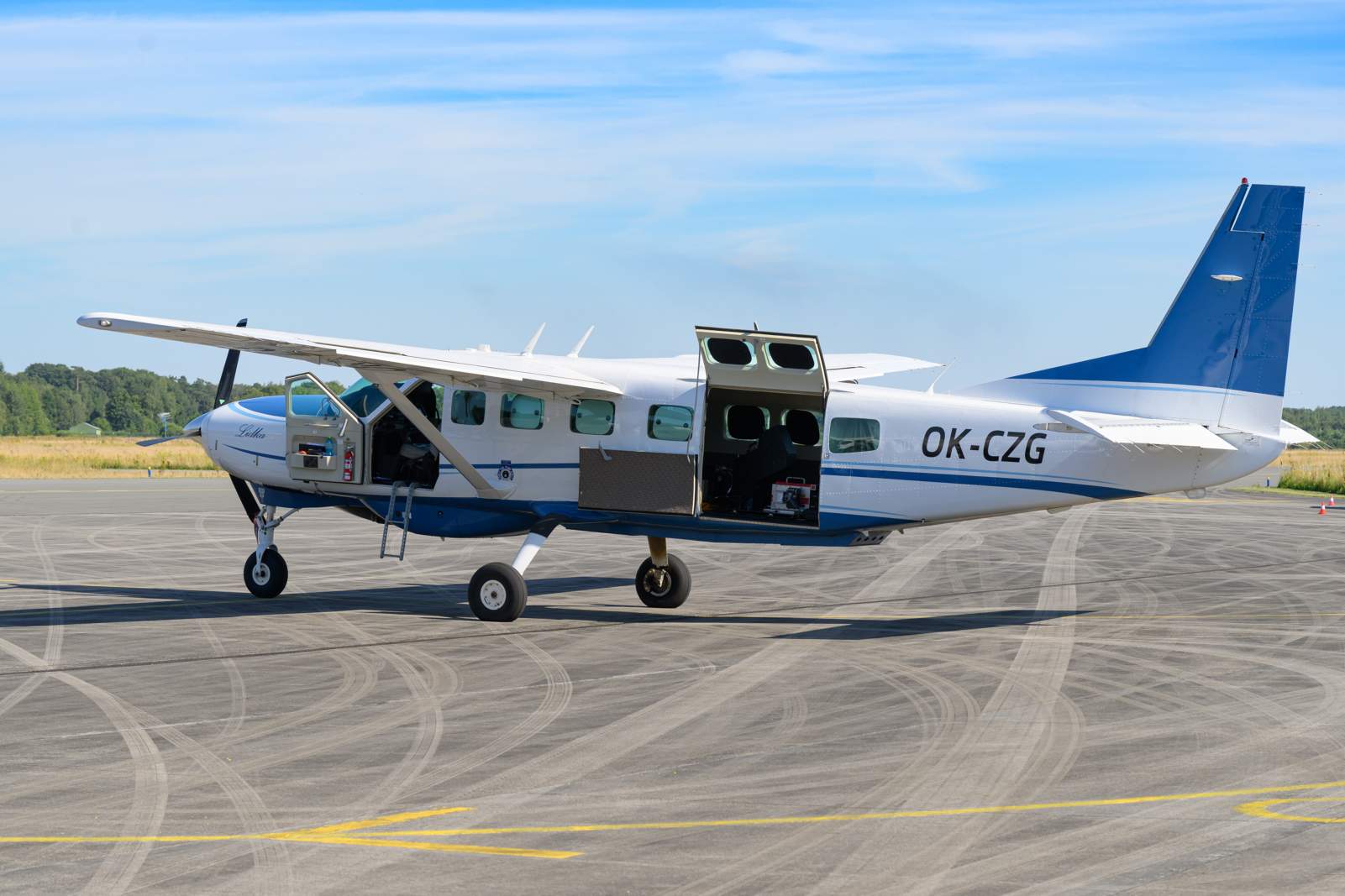
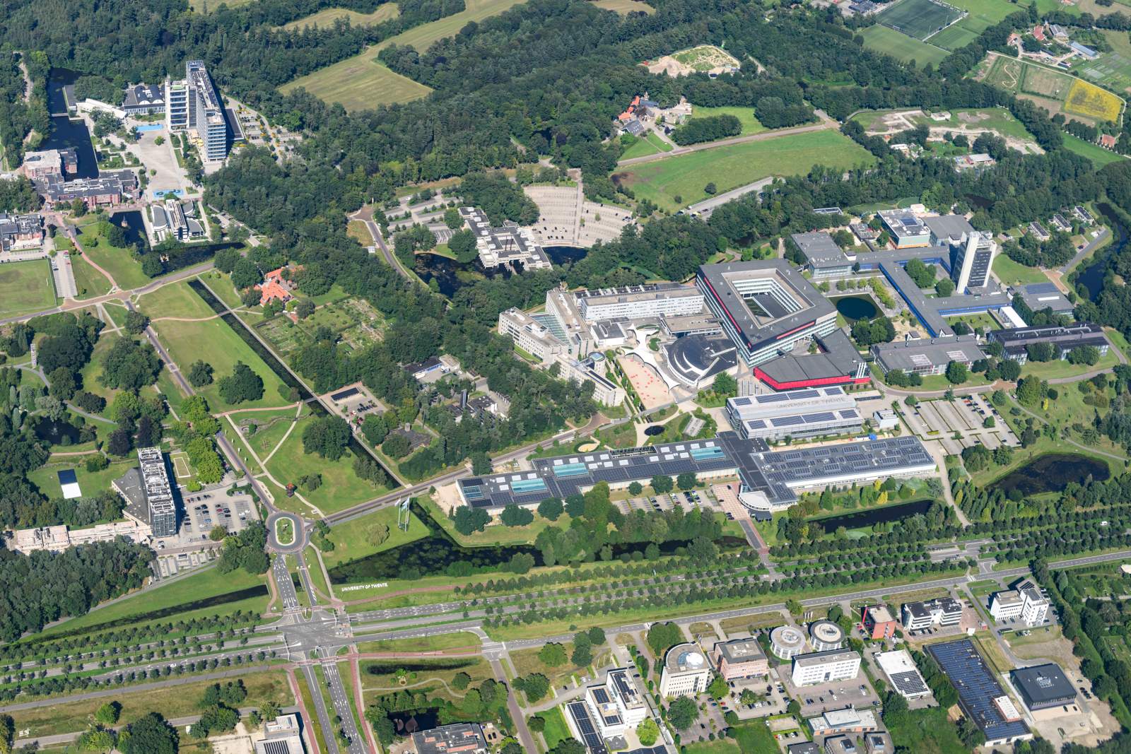
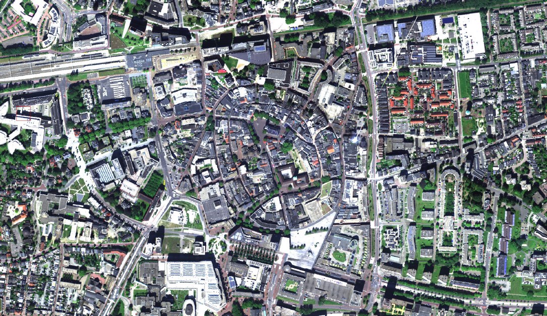
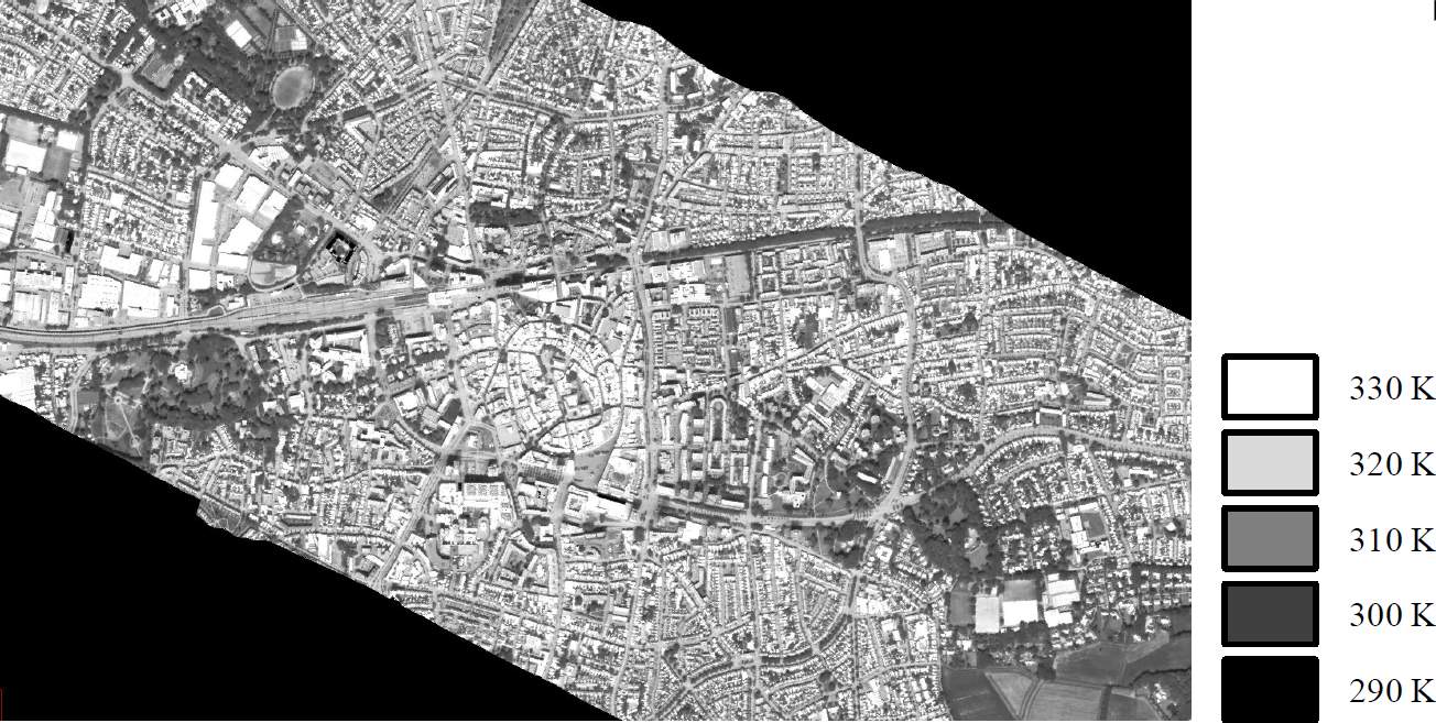
On 12 Augustus 2024 an aircraft carrying special sensors collected data of the city of Enschede. Why? To map heat stress of citizens.
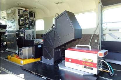
The sensors on board have unique characteristics in terms of the precision to measure the amount of electromagnetic radiation (e.g. visible light and thermal radiation) coming from the earth surface. The CASI-1500 sensor for example is capable of detecting very small differences in wavelengths ('spectral resolution') within the Visible to Near Infra Red (VNIR) range of the electromagnetic spectrum ('spectral domain' and 'spectral range'). This sensor is also capable of detecting differences within a very small area on the ground ('spatial resolution'). The TASI-600 sensor on the other hand is less precise in terms of spectral and spatial resolution but is capable of detecting emission in the Long-Wave Thermal Infra Red (TIR) range of the electromagnetic spectrum which gives us valuable information on the temperature of the earth surface and thus of urban objects.
The purpose of the airborne campaign is to contribute to the collection of a unique dataset that enables us to characterize the spatiotemporal (surface and atmospheric) variability of heat at street level. This dataset further comprises of data collected through mobile facilities as well as atmospheric soundings combined with detailed surface observations.
